Category: Geography
Cartography: Google goofs
THE Caribbean end of the border between Costa Rica and Nicaragua follows the course of the San Juan river, which was once considered a possible route for the trans-isthmus canal. The border was originally determined by the Cañas-Jerez Treaty of Limits in 1858.
The boundary follows the northern branch as the river splits into two, the southern branch is called the Colorado river. According to the treaty, the right bank of the San Juan river is Costa Rican territory but the river itself is Nicaraguan. In 1888 Grover Cleveland, then president of America, arbitrated in the dispute and gave a ruling stating that Costa Rica had the right to use the river for commerce but “has not the right of navigation of the river San Juan with vessels of war”. President Cleveland also commissioned a mapping survey of the area, conducted in 1897 by E.P. Alexander.
In 2009 the International Court of Justice (ICJ) ruled that Costa Rica cannot re-supply its armed police border posts using the river, but also that Nicaragua cannot demand visas from Costa Rican tourists traveling along the river.
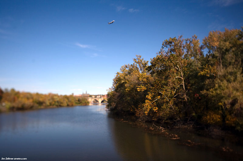
God’s Glorious Fall Colors
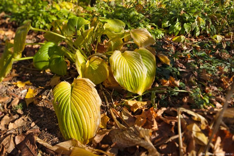
Madison has been blessed with a glorious fall.
Beautiful Fall Colors
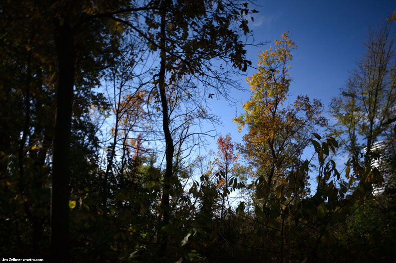
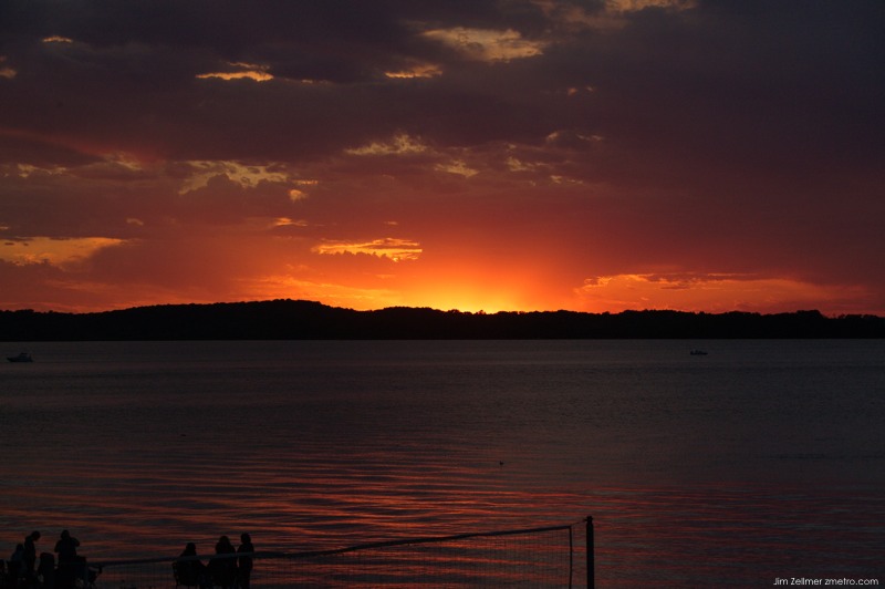
God’s Glory: A Fabulous Madison Sunset
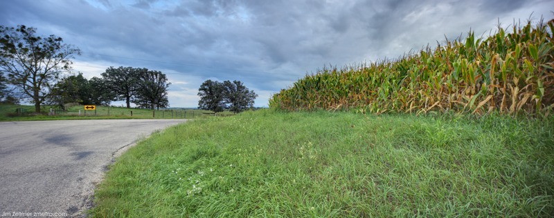
A September Country Drive
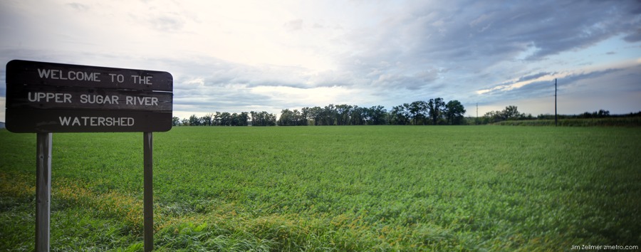
Clearing Storm Near Paoli
Lucky Boy Burgers: A Step Back in Time….
Changing Times, From this…..
to this….
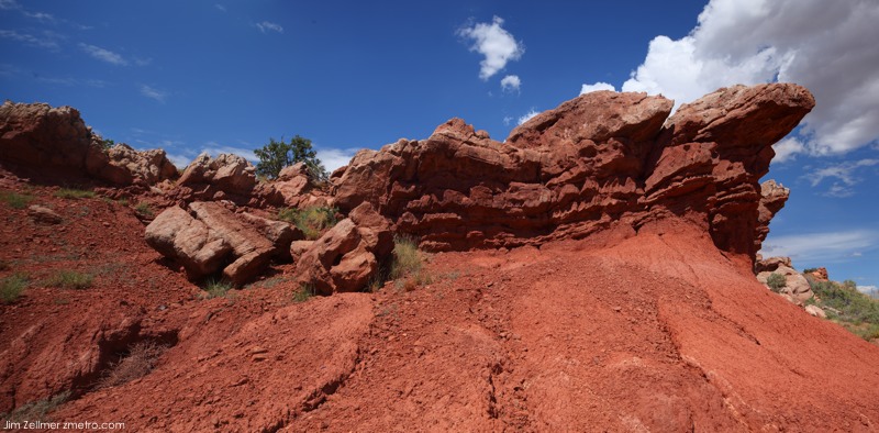
Red Rocks
